Comprehensive digital land surveying solutions leveraging state-of-the-art technology and experienced professionals across Andhra Pradesh.
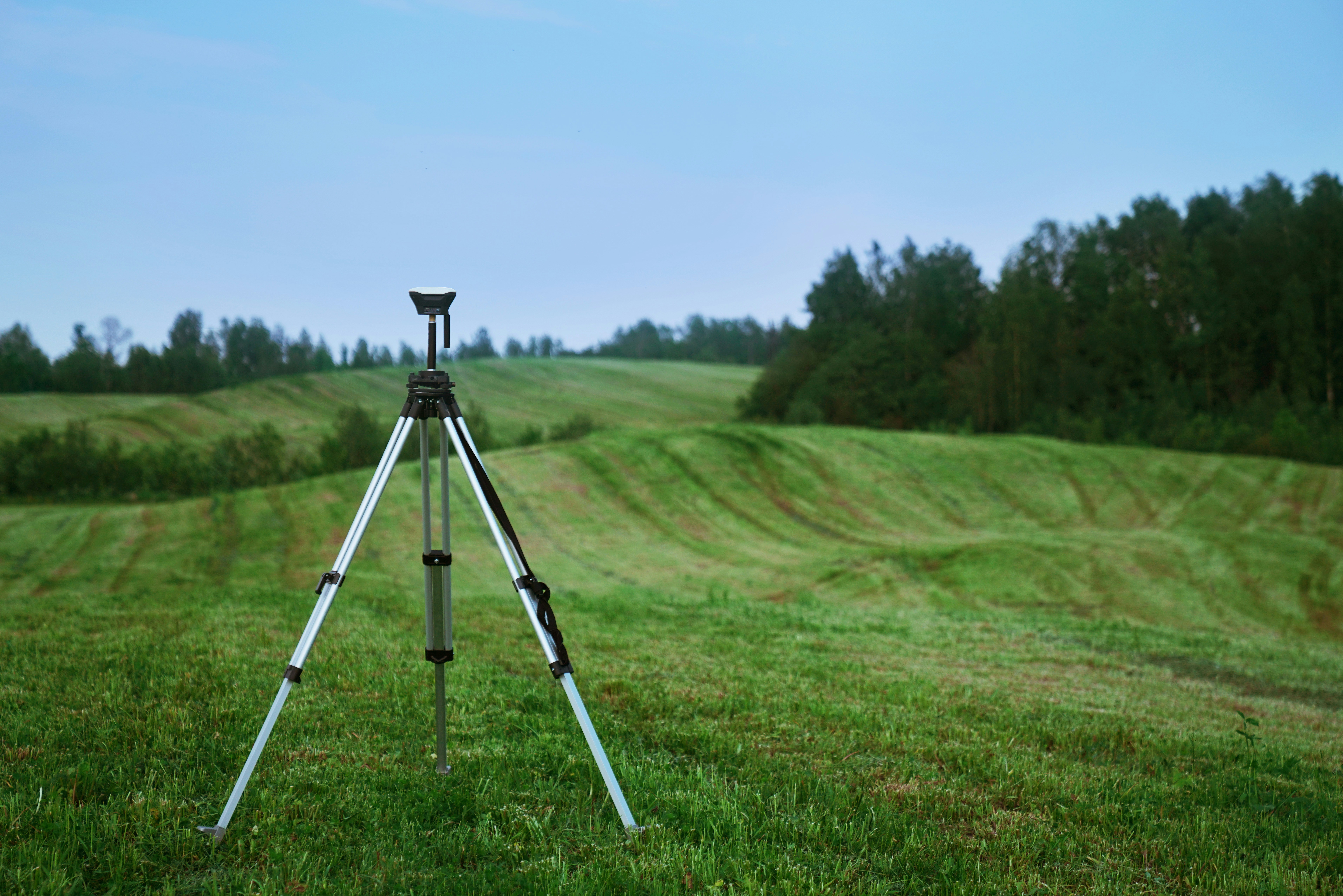
Secure your property rights with AK Surveyors — providing accurate land surveys and mapping services for real estate across South India. Our licensed surveyors conduct boundary demarcation, area measurement and legal documentation compliant with AP RERA.
Differential Global Positioning System (DGPS) is the latest technology in land surveying equipment. It provides centimeter-level positioning accuracy by correcting GPS errors using fixed base stations — ideal for large-scale, high-precision surveys.
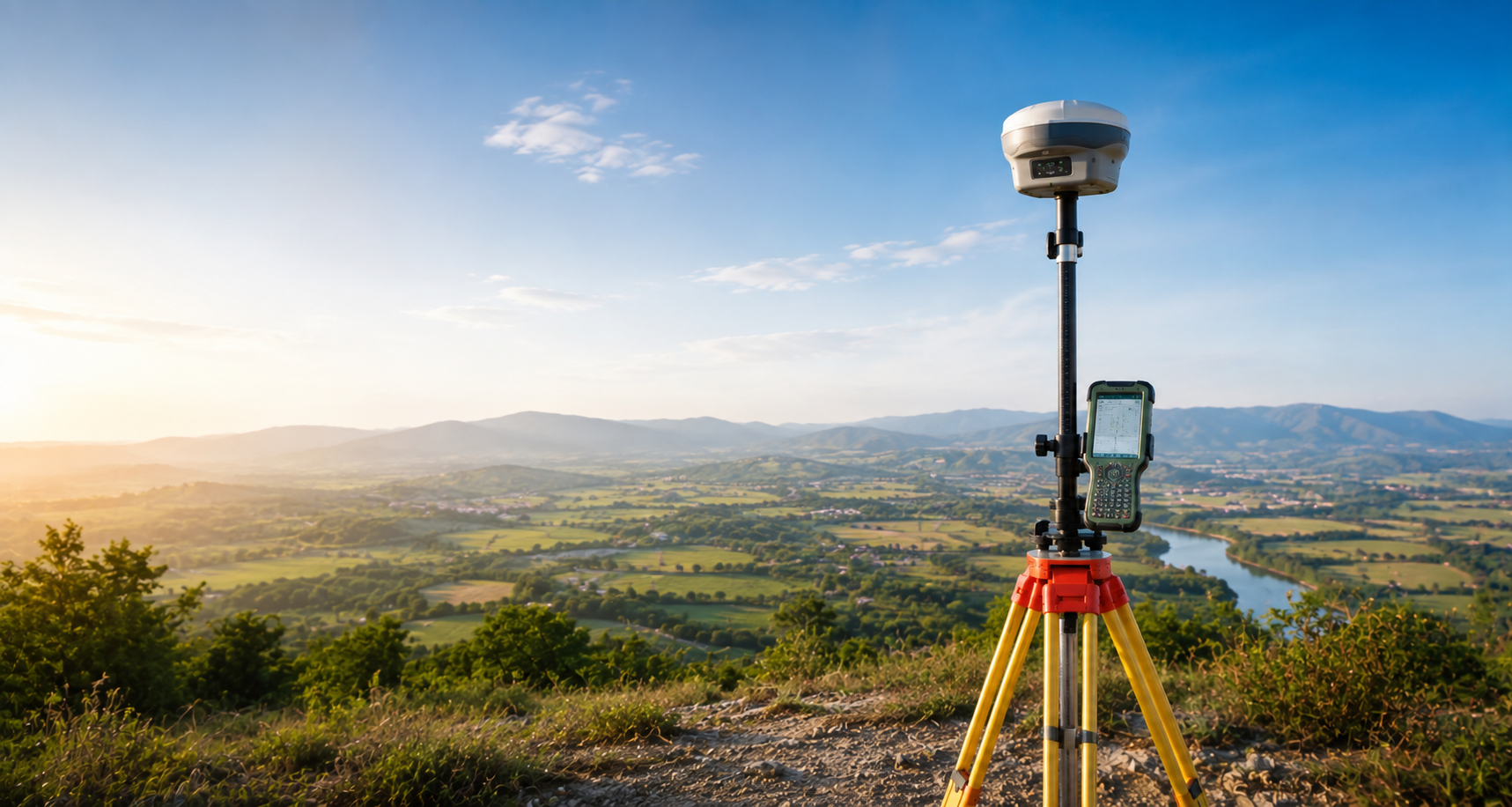
Utilizing unmanned aerial vehicles (UAVs) equipped with advanced sensors — RGB cameras, multispectral imaging and LIDAR payloads — our drone surveys provide high-resolution aerial data for a wide range of applications. Fast, accurate, and cost-effective.
From mining surveying to construction projects, our total station surveys accurately record the absolute location of features in any terrain. The combination of electronic theodolite and distance meter provides simultaneous angle and distance measurement with high precision.

Contour surveys illustrate elevation differences across your land at regular intervals from the lowest to the highest point. Essential for drainage planning, slope analysis, land levelling and construction project design.
Our topographical surveys meticulously map all natural and man-made features — trees, buildings, roads, fences and water bodies — enabling informed decision-making for land development, infrastructure and environmental projects.
A streamlined 4-step process designed to deliver precise results efficiently.
Free consultation to understand your project scope, site conditions and deliverable requirements.
Survey plan, equipment selection and crew mobilization based on site access and project requirements.
On-site data collection using appropriate instruments — DGPS, total station, drone or combination.
Processed survey data delivered in CAD, GIS or PDF format with full documentation and certifications.