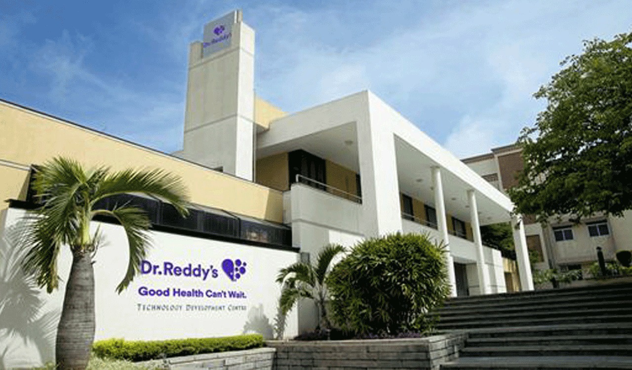
Showcasing precision surveying work delivered across Andhra Pradesh — from agricultural drone surveys to major infrastructure projects.
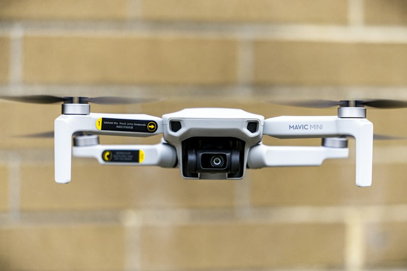
High-resolution orthophoto mapping of 500+ acres of agricultural land in Krishna District for irrigation planning.
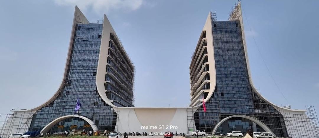
Precision alignment and cross-section survey for a 45km stretch of National Highway 16 corridor.
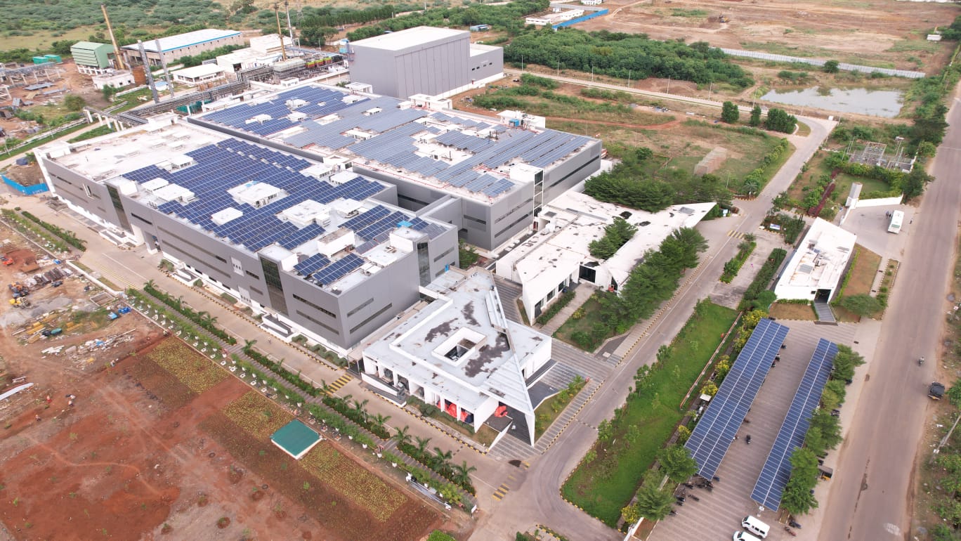
Complete topographical survey for a 120-acre township layout development project in Vijayawada suburbs.
DGPS-based boundary demarcation and documentation for coastal properties in Visakhapatnam district.
LIDAR drone survey for stockpile volume calculations and DEM generation at a quarry site in Kurnool.
Sub-division and boundary demarcation of 300+ agricultural plots for revenue department in Guntur district.
Detailed topographical and utility mapping for a 600-acre industrial park development in Nellore.
Precision setting-out survey and floor-by-floor monitoring for a 22-storey residential tower in Vijayawada.
Multispectral drone survey for site suitability analysis and terrain modelling for a 150MW solar farm.
Tell us about your survey requirements and we'll provide an accurate quote within 24 hours.