

AK SURVEYORS & ENGINEERS
Professional Land Surveyor
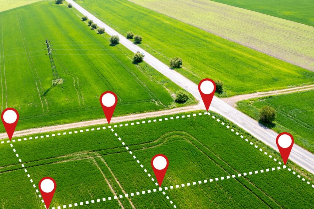
AK Surveyors specializes in comprehensive surveying services utilizing cutting-edge technology and skilled professionals. From drone surveys to total station and topographical surveys, we redefine boundaries with precise spatial data analysis and visualization.
About us
Precision Surveying Services for Accurate Spatial Data Analysis
Welcome to AK Surveyors, your trusted partner in precision surveying solutions. With a commitment to excellence and a team of highly skilled professionals, we deliver unparalleled services tailored to meet your spatial data needs.
- Land Survey
- Drone Survey
- Contour Survey
- DGPS Survey
- Total station Survey
- Topographical Survey
Our Services
What Service We Offer
At AK Surveyors, we leverage state-of-the-art technology to offer a wide range of surveying services, including:

Land Survey
Secure your property rights by relying on AK Surveyors and get accurate land surveys and mapping services for real estate in South India.

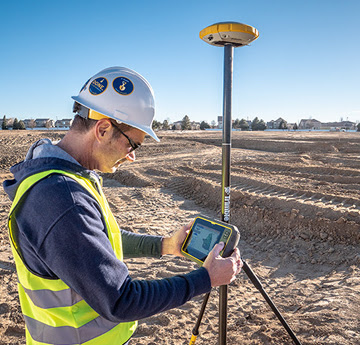
DGPS Survey
DGPS or the Differential Global Positioning System is the latest technology used in land surveying equipment

Drone Survey
Utilizing unmanned aerial vehicles equipped with advanced sensors such as RGB or multispectral cameras, and LIDAR payloads, our drone surveys provide high-resolution aerial data for various applications.

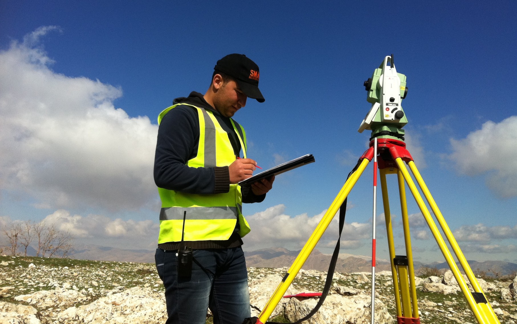
Total station Survey
From mining surveying to construction projects, our total station surveys accurately record the absolute location of features, ensuring precise measurements for any terrain.

Contour Survey
Contour survey illustrates the elevation differences across your land, in regular intervals, from the lowest point to the highest point.

Topographical Survey
Our topographical surveys meticulously map natural and man-made features, including trees, buildings, roads, and water bodies, enabling informed decision-making for land development and infrastructure projects.
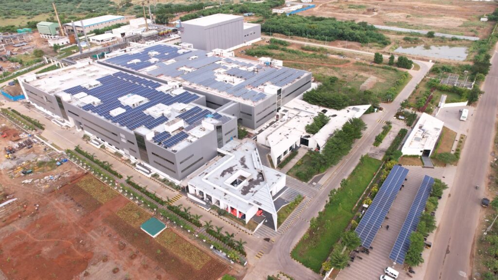
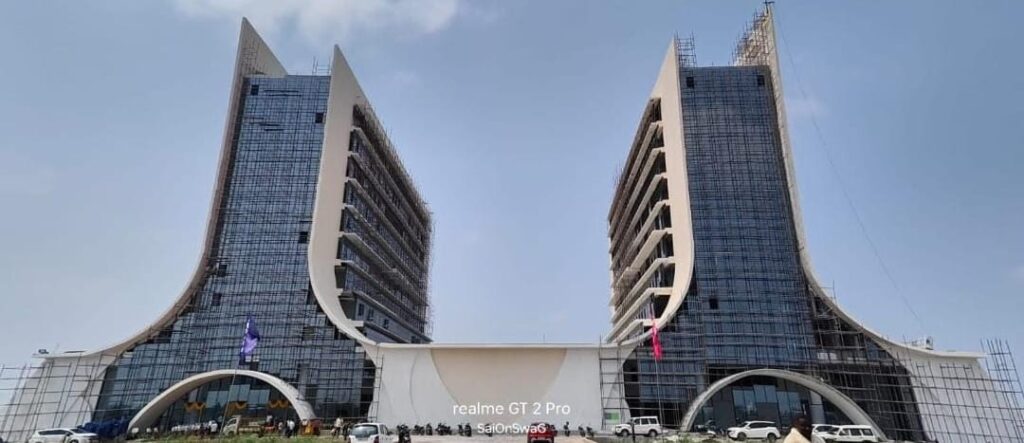
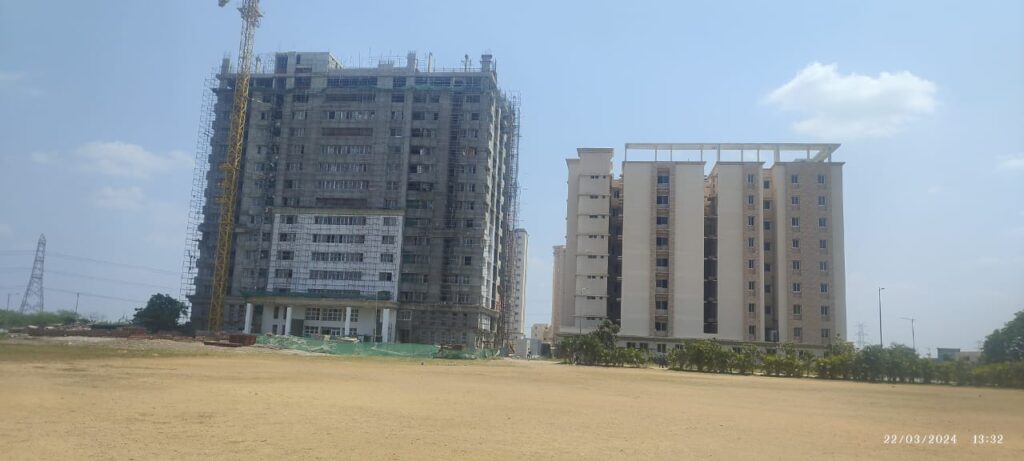
OUR RECENT PROJECTS
With a blend of expertise and innovation, AKSurveyors is dedicated to elevating precision in surveying, redefining boundaries, and exceeding client expectations. Trust us for reliable and accurate spatial data analysis and visualization.
Contact us
Fill the details below